Prestige Spring Heights Map

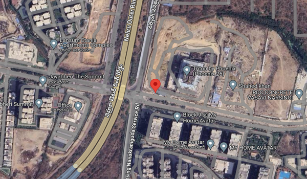
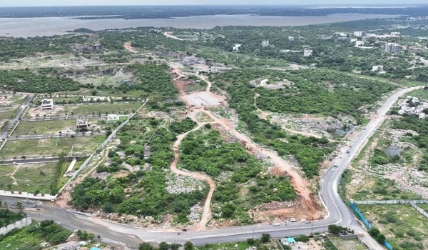
The map of Prestige Spring Heights shows a well-defined graphical representation of the location and the layout of the project. This map shows the exact location and direction of the project to the various parts of Rajendra Nagar from Spring Heights. The project location, according to the map, is 893M+JJH, Manasa Hills, Rajendranagar mandal, Hyderabad- 500030.
A map shows the exact address of the property and the layout of the project in a specific location. It also shows the distance to nearby IT hubs, schools, malls, hospitals, etc.
A map shows the exact address of the property and the layout of the project in a specific location. It also shows the distance to nearby IT hubs, schools, malls, hospitals, etc.
Prestige Spring Heights is developing in Rajendra Nagar, which is one of the posh IT areas of Hyderabad near major IT hubs. By looking at the project map, people can easily locate their dream home in Hyderabad. The project is developing over 10.6 acres of land area. It offers 1556 flats in sizes 3 and 4BHK. All the flats are over 4 towers, each with G+34.
Prestige Spring Heights project is in the prime area of Hyderabad, with schools, colleges, malls, and IT hubs nearby. The project is in Rajendra Nagar, and all the nearby important landmarks of the area are shown,
- Budwel Railway Station – 4.4 km
- Rajiv Gandhi Airport – 18.6 km
- Budvel Bus Stop – 2.7 km
- Gaganpahad bus stop – 5.7 km
- Falaknuma Terminal metro station – 11.1 km
- Metro Station Charminar – 12.7 km
The project has an emerging social infrastructure with all the needed features at a nearby location, and buyers will never regret their decision to buy a home in this area. There are many IT hubs, colleges, and schools nearby includes,
- Financial District – 16.4 km
- Microsoft – 17.4 km
- LV Prasad – 17.4 km
- Olive Hospitals – 10.4 km
- KIMS – 20.1 km
- GMR Business Park – 19.2 km
- Wipro – 18.7 km
- Mindspace SEZ – 19.7 km
- HCL Talent Care – 18.4 km
- Shadan Hospital – 7.4 km
- Atrium Mall – 19.6 km
- GVK One Mall – 17.1 km
- Prestige Forum Mall – 4 km
- Apollo Hospital – 16.6 km
- Greenwich Academy – 8.9 km
- Solitaire Global School – 5.6 km
- EDIFY World School – 5.8 km
- Basil Woods School – 8.9 km
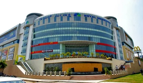
- Mantra Mall – 5.1 km
The map gives a clear visual picture of the whole area for buyers and the nearby landmarks of the project in Hyderabad. The exact location of Prestige Spring Heights is shown to buyers with the help of the map, and everyone can understand all nearby features easily.
